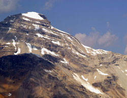
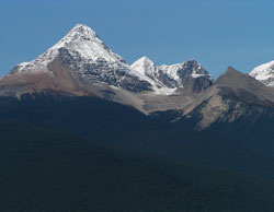
Photo: Looking east to Mount Carnarvon from near Wapta Mountain (courtesy Rob and Kathy Taerum)
Mount Carnarvon
- 3040 m (9,974ft)
- First Ascent
- Naming History
- Hiking and Trails
Located in the Kiwetinok River Valley 1.5 km north-northwest of Carnarvon Lake
Province: BC
Park: Yoho
Headwater: Columbia
Visible from Highway: 1
Ascent Party: Topographical Survey
Named by: Alexander MacKinnon Burgess
Named for: Herbert, Howard Molyneux (Fourth Earl of Carnarvon) (The Earl of Carnarvon was the parliamentary author of the British North America Act of 1867. He helped resolve the dispute between BC and Canada shortly after the province joined Canada.)
Alexander Burgess (see Mount Burgess) placed this name on the mountain in 1900. He was Deputy Minister of the Interior during the construction of the CPR, Alexander Burgess became Commissioner of Public Lands for Canada in 1897. Previously the name was attached to what is now Mount King by James McArthur.
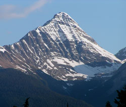
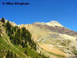
Photo: Mount Carnarvon from west of Field on the Trans-Canada Highway
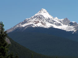
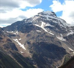
Looking north to Mount Carnarvon
Looking north to Mount Carnarvon
Looking north to (l-r) Mount Carnarvon, Mount Marpole (beyond), and Emerld Peak
The south ridge of Mount Carnarvon from Hamilton Lake
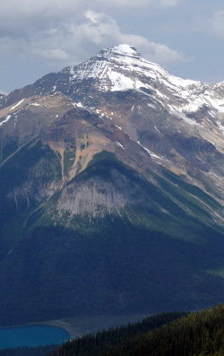
Looking west to Mount Carnarvon (courtesy Sonny Bou)
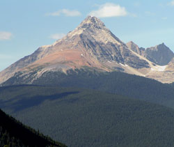
Looking west-northwest to Mount Carnarvon