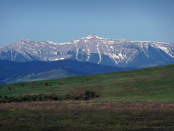
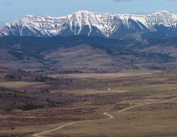
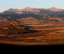
Looking west to Mount Burke
Mount Burke
- 2542 m (8,340ft)
- Naming History
Located north of Salter Creek at the head of Pekisko Creek; south buttress of Salter Pass
Range: Livingstone
Province: Alberta
Park: Kananaskis
Headwater: Bow
Visible from Highway: 40S, 541, 22, 940S
Named for: Burke, Denis Charles (Denis Burke ranched below the slopes of what is now Mount Burke.)
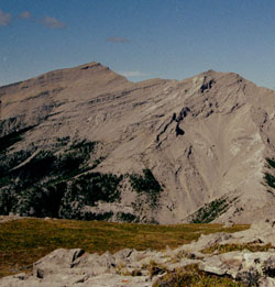
Two broad shoulders with a symmetric summit in between characterize this peak which is the second highest in the Livingstone Range and only six metres lower than Centre Peak.
Looking southeast to Mount Burke from Highway #40
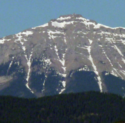
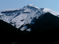
Snow highlighting on Mount Burke
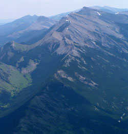
Photo: Looking south-southwest to Mount Burke from Holy Cross Mountain
Looking west-southwest to Mount Burke from Lynnie
Looking north to Mount Burke from Plateau Mountain (courtesy Rienk Lakeman)
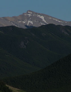
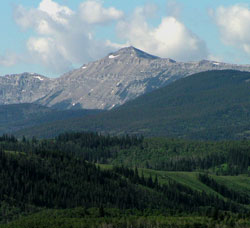
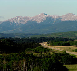
Looking east to Mount Burke from Highway #940
Looking south-southwest to Mount Burke from Highway #541
Looking west-southwest to Mount Burke from Lynnie's Hill
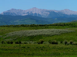
Looking west-southwest to Mount Burke from Highway #22
Looking south-southwest to Mount Burke from Sullivan Hill on Highway #541