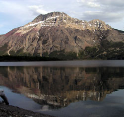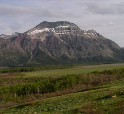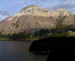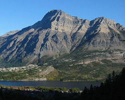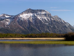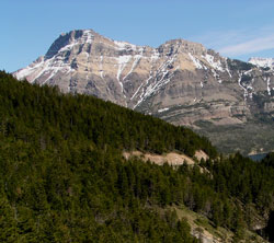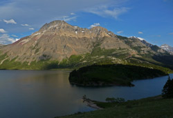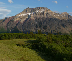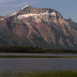
Photo: Looking south to Vimy Peak from Lower Waterton Lake
Vimy Peak
- 2385 m (7,825ft)
- Naming History
Located southeast of Middle Waterton Lake
Province: Alberta
Park: Waterton
Headwater: Oldman
Visible from Highway: 5
Named for: On Easter Monday, 1917, four divisions of the Canadian Army captured and held the most heavily defended German position on the western front at the Battle of Vimy Ridge during WW I.
Vimy Peak is the front range mountain standing east of the townsite in Waterton National Park. Vimy Ridge stretches for three km to the southeast of the peak. The mountain was originally known as both Sheep Mountain and Goat Mountain until it was renamed in 1917. On Easter Monday in that year, four divisions of the Canadian Army attacked and held the most heavily defended German position on the western front during this point in the First World War. The French and British had both attempted to take Vimy Ridge and both had failed at tremendous cost, the French alone having lost 150,000 men. On this occasion, the Canadians went over the top at dawn and captured the ridge by noon, establishing new positions on the top of the Ridge as well as, some say, a new image of Canada to the world and in the eyes of the Canadian people themselves. It remains one of the proudest days in Canadian military history and a mountain in such a prominent location is a fitting tribute. Vimy Peak is at the northwestern end of Vimy Ridge. The southeastern end of the ridge is actually higher than Vimy Peak. The mountain is shown as Sheep Mountain on George Dawson's 1886 map. Kootenai Brown refered to the peak as Goat Mountain. [Additional Information: "Vimy" by Pierre Berton]
