
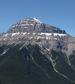
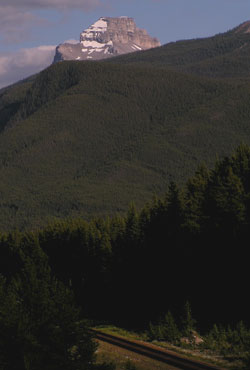
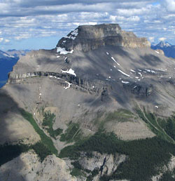
Photo: Looking southeast to Pilot Mountain from the Bow Valley Parkway
Pilot Mountain
- 2935 m (9,630ft)
- First Ascent
- Naming History
- Hiking and Trails
Located in the Bow River Valley southeast of Redearth Creek
Range: Massive
Province: Alberta
Park: Banff
Headwater: Bow
Major Valley: Bow
Visible from Highway: 1, 93N
Ascent Party: Geological Survey
Named by: George Dawson
Named for: The mountain is located at a point where the Bow Valley changes direction so that the mountain is visible for long distances up and down the valley.
Pilot Mountain was named by George Dawson because it is a landmark to travellers in the Bow Valley. It may be seen up and down the Bow Valley for a considerable distance and because of its special location, may be viewed when looking west from east of Banff Townsite and when looking southeast from northwest of Lake Louise. When driving to the west up the Bow Valley on Highway #1, Pilot Mountain is first seen from the top of a hill 6.4 km east of Tunnel Mountain. It can also be seen from Highway #93, just southeast of Herbert Lake and from near the junction with Highway #93 while driving eastbound on Highway #1.

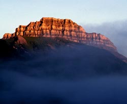
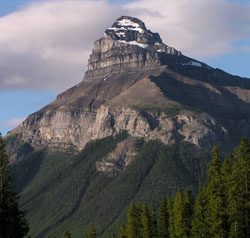
Photo: Looking west to Pilot Mountain from the Bow Valley Parkway
Looking south to Pilot Mountain from Mount Ishbel (courtesy Sonny Bou)
Looking west to Pilot Mountain from the slopes of Mount Cory (courtesy Gerry Hopkins)
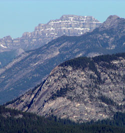
Looking west beyond Tunnel Mountain to Pilot Mountain
Looking north to Pilot Mountain from Mount Brett (courtesy Bennett Wong)
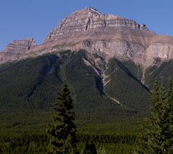
Looking southeast to Pilot Mountain from the Bow Valley
Looking southeast to Pilot Mountain from the Bow Valley Parkway
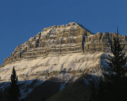
Looking southwest to Pilot Mountain from the Bow Valley Parkway
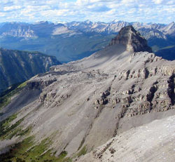
Looking west-southwest to Pilot Mountain from Cockscomb Mountain (courtesy Sonny Bou)
Looking southeast to Pilot Mountain from Cockscomb Mountain (courtesy Sonny Bou)