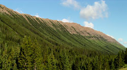
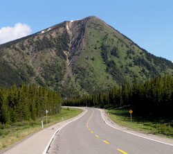
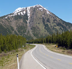
Photo: Looking northwest to the northwest end of Highwood Ridge from Highway #40
Highwood Ridge
- 2697 m (8,850ft)
Located a the head of Storm Creek and the head of Pocaterra Creek; southwest buttress of Highwood Pass
Province: Alberta
Park: Kananaskis
Headwater: Bow
Major Valley: Highwood
Visible from Highway: 40S
This 4 km long ridge parallels the upper valley of Storm Creek. Its eastern slopes feature classic avalanche slopes and a large spring about two thirds of the way to the top. The name appears in the 1917 Interprovincial Boundary Survey atlas, both the north and south ends having been occupied by the surveyors as camera stations.
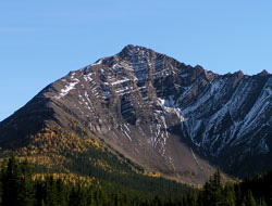
Photo: Looking south to the north end of Highwood Ridge from Highway #40
Looking northwest to Highwood Ridge from the southeast summit of Mount Lipsett
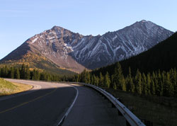
Photo: Looking south to the north end of Highwood Ridge from Highway #40
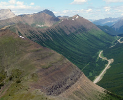
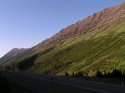
Looking northwest to the southeast end of Highwood Ridge from Highway #40
Looking south to the southeast end of Highwood Ridge from Highway #40
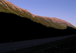
Photo: Looking northwest to the northwest end of Highwood Ridge from Highway #40
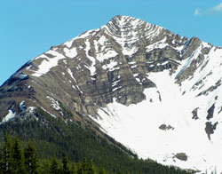
Photo: Looking south to the north end of Highwood Ridge from Highway #40
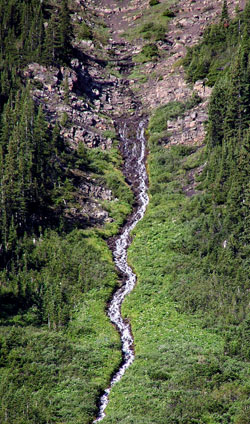
The big spring on the northeast side of Highwood Ridge from Highway #40
Looking northwest to the southeast end of Highwood Ridge from Highway #40