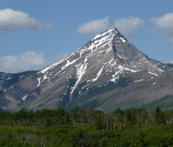
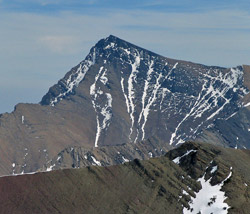
Looking west to Victoria Peak
Victoria Peak
- 2569 m (8,430ft)
49.2969N -114.143W
Located between Mill Creek Valley from Pincher Creek Valley; the highest point on the 10 km long Victoria Ridge
Province: Alberta
Headwater: Oldman
Visible from Highway: 6, Gladstone Valley Road
Located between Mill Creek Valley from Pincher Creek Valley; the highest point on the 10 km long Victoria Ridge
Province: Alberta
Headwater: Oldman
Visible from Highway: 6, Gladstone Valley Road
This softly contoured mountain in the front ranges southwest of Pincher Creek should not be confused with the more well known Mount Victoria that rises so prominently behind Lake Louise. The mountain appears on George Dawson's 1886 map.
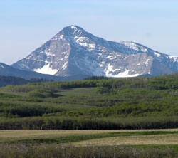
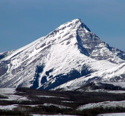
Photo: Looking south to Victoria Peak from the Gladstone Valley road
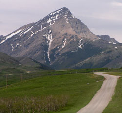
Looking west to Victoria Peak from Highway #6
Looking south to Victoria Peak from the Gladstone Valley road
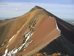
Looking north to Victoria Peak from Pincher Ridge (courtesy Linda Breton)
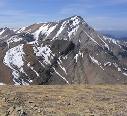
Looking east to Victoria Peak from Victoria Ridge (courtesy Linda Breton)
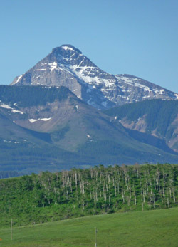
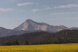
Looking west to Victoria Peak
Looking west to Victoria Peak
Looking east to Victoria Peak from North Castle (courtesy Sonny Bou)