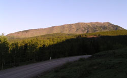
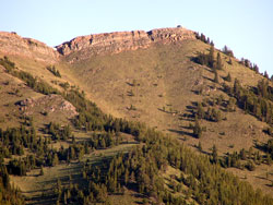
Photo: Looking west-northwest to Raspberry Ridge from Highway #940
Raspberry Ridge
- 2362 m (7,750ft)
50.2994N -114.639W
Located south of Etherington Creek and north of Cataract Creek, 8.4 km west of Mount Burke
Province: Alberta
Park: Kananaskis
Headwater: Bow
Visible from Highway: 40S, 541, 940S
Located south of Etherington Creek and north of Cataract Creek, 8.4 km west of Mount Burke
Province: Alberta
Park: Kananaskis
Headwater: Bow
Visible from Highway: 40S, 541, 940S
This grass-covered ridge has been the site of a Lookout Building since 1954 when it partially replaced Cameron Lookout on Mount Burke. The access road was bulldozed into the eastern slopes creating a huge "Z." This eyesore was reclaimed in 1986 and, from a distance at least, is not nearly as noticable.
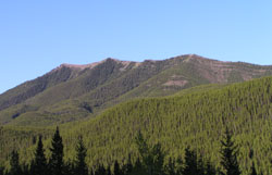
Photo: Looking south-southeast to Raspberry Ridge from Highway #940
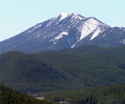
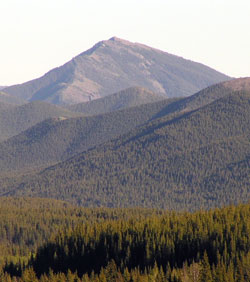
Looking south to Raspberry Ridge from Cat Creek Hills
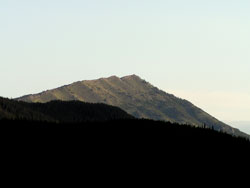
Looking north-northwest to Raspberry Ridge from Highway #940
Looking west to the summit of Raspberry Ridge from Highway #940
Looking south-southeast to Raspberry Ridge from Highway #940
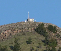
The lookout building on Raspberry Ridge from Highway #940