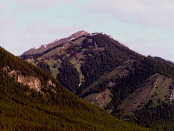
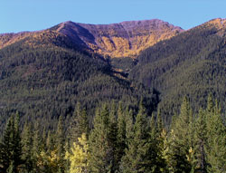
Photo: Looking northwest to Odlum Ridge from Highway #40
Odlum Ridge
- 2469 m (8,190ft)
- First Ascent
Located south and west of the Highwood River and north of Odlum Creek
Province: Alberta
Park: Kananaskis
Headwater: Bow
Major Valley: Highwood
Visible from Highway: 40
Ascent Party: Interprovincial Boundary Survey
The ridge has three high points, the highest of which is the eastermost. The Interprovincial Boundary Commission placed camera stations on the eastern and western summits in 1916. Mount Odlum lies 6.0 kilometres to the west-southwest of the highest point of Odlum Ridge. The creek takes was named after Mount Odlum which was named in 1917 to honour Brigadier-General V.W. Odlum, the commander of the Second Canadian Division of the Canadian Expeditionary Force during WW I.
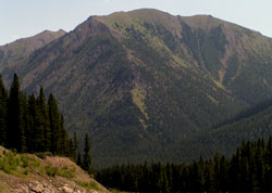
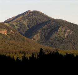
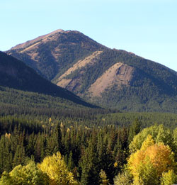
Photo: Looking southeast to Odlum Ridge from Highway #40
Looking northwest to Odlum Ridge from Highway #40
Looking southeast to Odlum Ridge from Highway #40
Looking west to Odlum Ridge from Highway #40
Looking northwest to Odlum Ridge from Highway #40
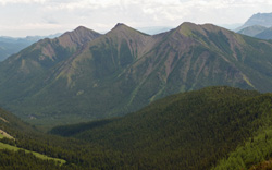
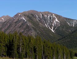
Looking southeast to Odlum Ridge from Mount Lipsett