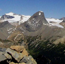
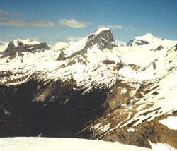
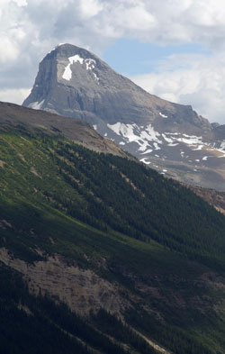
Photo: Looking north to Mount Niles with Mount Balfour (beyond at left) from Mount Ogden (courtesy Bob St. John)
Mount Niles
- 2972 m (9,750ft)
- First Ascent
- Naming History
- Hiking and Trails
Located at the head of Sherbrooke Creek; 1.7 km west of the southern end of Mount Daly
Province: BC
Park: Yoho
Headwater: Columbia
Visible from Highway: 1
Ascent Party: D. Campbell, Charles E. Fay
Named by: Charles Thompson
Named for: Niles, William Harmon (William Niles was a Professor of Geology at MIT and also served as president of the Appalacian Mountain Club.)
Journal Reference: App 9-96
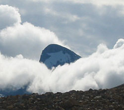
Mount Niles is a distinctive peak that lies to the south of the Waptutik Icefield. The spot of snow that lingers on its southwestern slopes near the summit adds to its character.
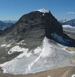
Looking west-southwest to Mount Niles from Mount Daly (courtesy Sonny Bou)
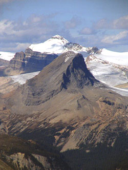
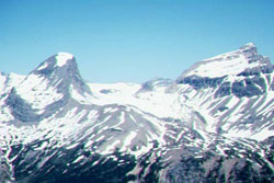
Looking north-northwest to Mount Niles with Mount Balfour beyond from Mount Yukness (courtesy Sonny Bou)
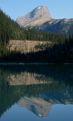
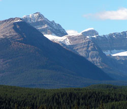
Photo: Looking north-northeast to Mount Niles from Sherbrooke Lake (courtesy Sonny Bou)
Looking north-northwest to Mount Niles from Paget Peak
Looking west-northwest to Mount Niles (beyond at left) from Lake Louise
Looking north to Mount Niles (left) and Mount Daly (courtesy Alan Kane)
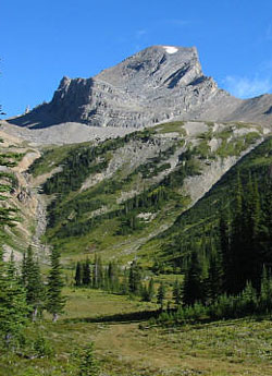
Photo: Looking north-northeast to Mount Niles (courtesy Sonny Bou)
Looking east-southeast to Mount Niles from the Iceline Trail (courtesy Kathy and Rob Taerum)
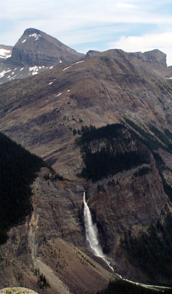
Looking east to Mount Niles above Takkakaw Falls from the Iceline Trail (courtesy Janet Scase)
Looking to east-southeast to Mount Niles from the Iceline Trail (courtesy Sonny Bou)