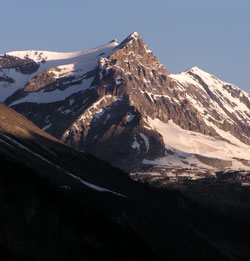
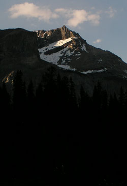
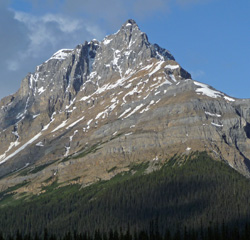
Photo: Looking northwest to Michael Peak from the Spiral Tunnels Viewpoint on the Trans-Canada Highway
Michael Peak
- 2696 m (8,844ft)
- First Ascent
- Naming History
- Hiking and Trails
Located in the Yoho Valley; northwest buttress of Yoho Pass
Range: President
Province: BC
Park: Yoho
Headwater: Columbia
Visible from Highway: 1
Ascent Party: James Outram
Named by: Edward Whymper
Named for: Michael, Arthur (Arthur Michael was a chemistry professor from Boston who was a prominent member of the American Alpine Club and participated in the first ascents of Mount Lefroy and Mount Victoria in 1897.
Michael Peak is unusual in that most would say that it isn't a peak at all. The 1:50,000 topographical map shows only a single closed contour at the southeastern end of the President Range but this is Michael Peak, a minor high point from which the President Range begins its descent into Yoho Pass. Of the first ascent from Yoho Lake, James Outram wrote, "Making the ascent entirely on rocks we succeeded in obtaining quite an interesting scramble to the sharp peak we were aiming at and quickly reached the little pinnacle, about 8500 feet above the sea and 2500 feet above the pass. It proved to be the terminal point of the long eastern ridge of the President Group, but little elevated above the arete connecting it with the next in the series of minor peaks, yet presenting quite an imposing appearance from below."
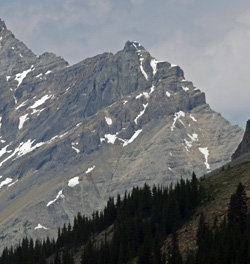
Looking north-northwest to Michael Peak
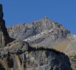
Photo: Looking north to Michael Peak
Looking northwest to Michael Peak from the Spiral Tunnels Viewpoint on the Trans-Canada Highway
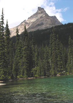
Looking northeast to Michael Peak from Emerald Lake
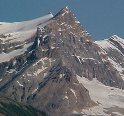
Looking northwest to Michael Peak from Yoho Lake
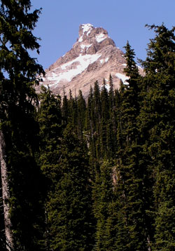
Looking northwest to Michael Peak from near Yoho Lake
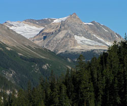
Looking northwest to Michael Peak with Vice-President beyond
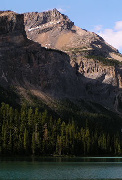
Looking northeast to Michael Peak from Emerald Lake
Looking west to Michael Peak from Emerald Lake