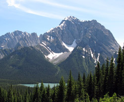
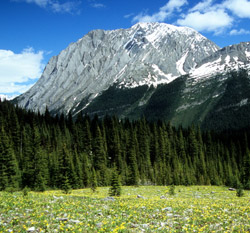
Looking south to Mount Aosta (courtesy Brenda Everitt)
Mount Aosta
- 2994 m (9,823ft)
- First Ascent
- Naming History
50.5283N -115.096W
Located between Nivelle Creek and the Elk River Valley north of Cadorna Creek; 3 km south of Upper Elk Lake
Province: BC
Park: Elk Lakes
Headwater: Kootenay
Located between Nivelle Creek and the Elk River Valley north of Cadorna Creek; 3 km south of Upper Elk Lake
Province: BC
Park: Elk Lakes
Headwater: Kootenay
Ascent Date: 1964
Ascent Party: R. Neave and party
Ascent Party: R. Neave and party
Year Named: 1918
Named for: Filibertol, Emanuele (Duke of Aosta) (General Filibertol was the commanding general of the Third Italian Army during WW I.)
Named for: Filibertol, Emanuele (Duke of Aosta) (General Filibertol was the commanding general of the Third Italian Army during WW I.)
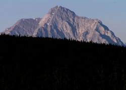
Photo: Looking south to Mount Aosta from Highway #40
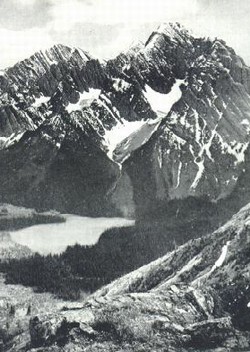
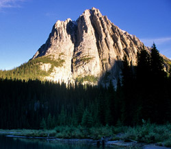
Photo: Looking south across Lower Elk Lake to Mount Aosta (Interprovincial Boundary Report photo)
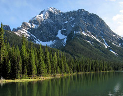
Looking south to Mount Aosta from Lower Elk Lake (courtesy Gerry Hopkins)
Looking east to Mount Aosta from the Petain Falls Trail (courtesy Gerry Hopkins)
Looking southeast to Mount Aosta from the south end of Upper Elk Lake (courtesy Gerry Hopkins)