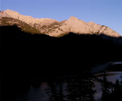
Photo: Looking northeast to Mount Cory from the Trans-Canada Highway
Mount Cory
- 2802 m (9,193ft)
- Naming History
Located in the Bow River Valley west of Forty Mile Creek
Range: Sawback
Province: Alberta
Park: Banff
Headwater: Bow
Major Valley: Bow
Visible from Highway: 1
Named for: Cory, William Wallace (William Cory was the Deputy Minister of the Interior from 1905 to 1930.)
The well-known cave referred to as the "Hole in the Wall" on Mount Cory is readily seen from the Trans-Canada Highway. It is thought by some that it is a "solution cave," the cave having been formed by melting water when the glacier that filled the Bow Valley during a major glacial advance. The mountain was referred to as, "Hole in the Wall Mountain" on George Dawson's 1886 map of the Canadian Rockies. The cave is about thirty metres deep. In her 1948 book, "The Banff-Jasper Highway," Mabel Williams wrote that, "Members of the Calgary and Banff Masonic Lodges once held a meeting in this cave."
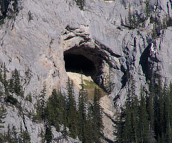
Photo: The "Hole in the Wall" on Mount Cory
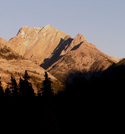
Looking northeast to Mount Cory from the Trans-Canada Highway
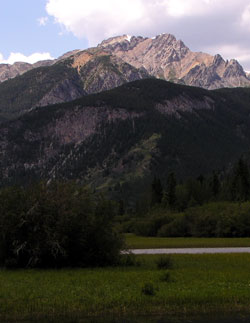
Looking north to Mount Cory from the Bow Valley Parkway (courtesy Gerry Hopkins)
Looking northeast to Mount Cory from the Trans-Canada Highway
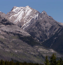
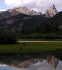
Looking northwest to Mount Cory
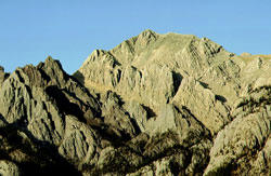
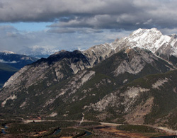
Looking northwest to Mount Cory (left) and Mount Edith
Looking northwest to Mount Cory from Sanson Peak (courtesy Sonny Bou)