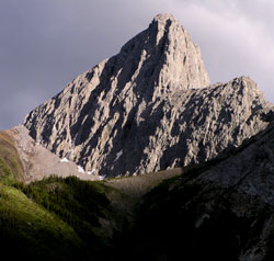
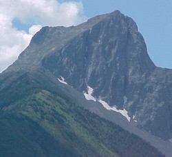
Photo: Looking south-southeast to The Wedge from Highway #40 near Wedge Lake
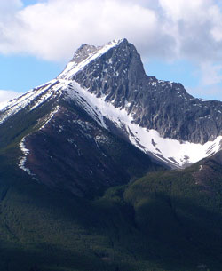
The Wedge
- 2652 m (8,701ft)
Located in the Kananaskis River Valley between Evan-Thomas Creek and Rocky Creek
Province: Alberta
Park: Kananaskis
Headwater: Bow
Major Valley: Kananaskis
Visible from Highway: 40S
The Wedge is a distinctive and attractive little peak named for its similarity to a carpenter's wedge. The lower slopes of the mountain clearly show the extent to which the most recent forest fire reached. The darker coloured forest is made up of spruce trees which survived the fire while the lightest coloured trees are a younger, lodgepole pine forest which started growing immediately following the fire. The mountain is sometimes confused with Wedge Mountain which is located in the Crowsnest River Valley.
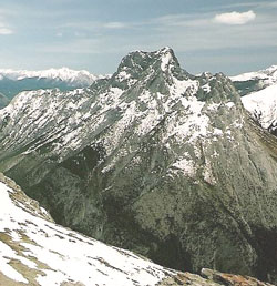
Looking north to The Wedge from Opal Ridge (courtesy Calvin Damen)
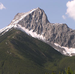
Looking east to The Wedge (courtesy Rob Taerum)
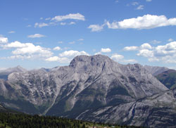
Looking south to The Wedge from Evan-Thomas Creek on Highway #40
Looking south to The Wedge from Highway #40 at the Evan-Thomas Creek Bridge
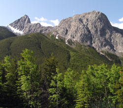
Looking south to The Wedge
Looking south-southeast to The Wedge (left) and Limestone Mountain from