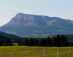
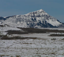
Photo: Looking southeast to Prairie Bluff from the Gladstone Valley Road
Prairie Bluff
- 2254 m (7,395ft)
Located north of Pincher Creek and 5 km northeast of Victoria Peak
Province: Alberta
Headwater: Oldman
Visible from Highway: 6, Gladstone Valley Road
Prairie Bluff is located at the northwestern end of the range of peaks that trends southeast-northwest from Waterton National Park. Beyond Prairie Bluff the mountain front trends almost directly westward through Table Mountain, Whistler Mountain, and Barnaby Ridge prior to resuming its southeast-northwest trend in the general area of Syncline Mountain.
Looking west to Prairie Bluff
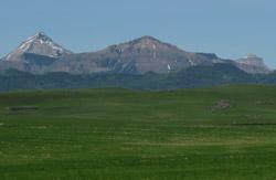
Looking southwest to (l-r) Victoria Peak, Prairie Bluff, and Castle Peak
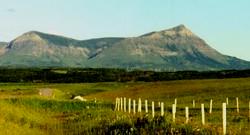
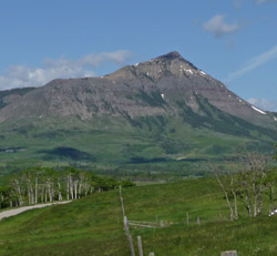
Photo: Looking west to Prairie Bluff
Looking northeast to Prairie Bluff from Pincher Ridge (courtesy Linda Breton)
Looking southwest to (l-r) Victoria Peak, Prairie Bluff, and Windsor Mountain from Highway #6
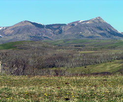
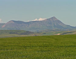
Looking west to Prairie Bluff
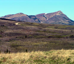
Looking west-northwest to Prairie Bluff
Looking west to Prairie Bluff from Highway #6
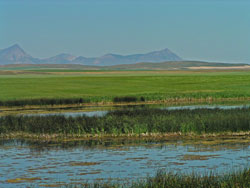
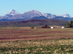
Looking west to Prairie Bluff from the prairies showing the point at which the front ranges appear to terminate prior to abruptly shifting farther to the southwest
Looking west to Prairie Bluff from the prairies